Introduction to Geostationary Satellites and Their Data Analysis & Interpretation Techniques
1 link•1 file•1 Jupyter Notebook
About
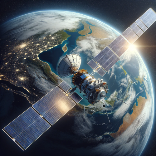
An introduction to geostationary satellites and their applications is provided. The use of SatPy, a Python library for satellite data processing, is covered. Observations from geostationary satellites such as Himawari and GOES satellites are included for study. The course is designed for those interested in weather and environmental studies.
Objectives
- This course is designed for students and researchers who are eager to engage with the practical aspects of geostationary satellite data manipulation using Python. Through comprehensive, hands-on Jupyter notebooks, participants will gain fluency in the tools and techniques essential for the analysis and interpretation of data from specific satellites covered in the course materials.
| Type | Module |
|---|---|
| Level | Foundation |
| Length | 3 hours |
Instructor

Mohamed Abdelkader
4 modules

Jibin Joseph
70 modules

Jorge Bravo
4 modules

Maroune Temimi
4 modules
Discussions
Please login to view discussions.
Reviews
Not reviewed yet
No reviews yet.
Related & Recommended
(none)