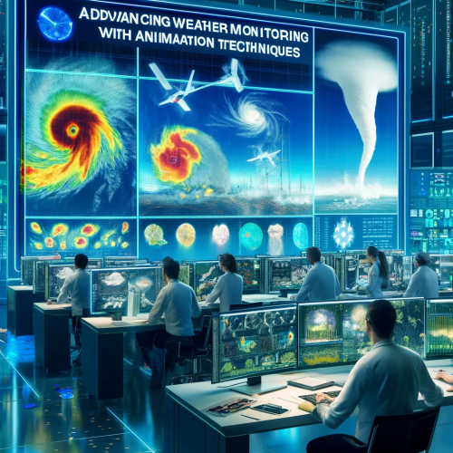
Advancing Weather Monitoring with Animation Techniques
1 link•1 file•1 Jupyter Notebook
About
This advanced module aims to enhance the capabilities of participants in employing satellite data for dynamic weather visualization. Participants will learn to manipulate, analyze, and animate geospatial datasets to create visual representations of weather patterns, enhancing both scientific understanding and data presentation skills.
Objectives
- Weather Animation Using HydroEstimator Data
- Weather Animation Using GEOS-R Data
| Type | Module |
|---|---|
| Level | Developer |
| Length | 1 hour |
Instructor

Mohamed Abdelkader
4 modules

Jibin Joseph
70 modules

Jorge Bravo
4 modules

Maroune Temimi
4 modules
Discussions
Please login to view discussions.
Reviews
Not reviewed yet
No reviews yet.
Related & Recommended
(none)