-
 Lan Zhao
(zhao4atpurduedot)
Lan Zhao
(zhao4atpurduedot)
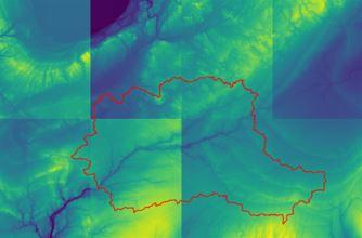
Geospatial & Hydrological Science: DEM Accessing using a Shapefile
1 file•1 Jupyter Notebook
About
(no description available)
| Type | Module |
|---|---|
| Level | Foundation |
| Length | 1 hour |
Instructor

Jibin Joseph
70 modules

Discussions
Please login to view discussions.
Reviews
1 review