Geospatial Data Models
1 file
About
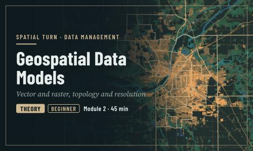
Vector and raster data, topology, resolution, and choosing a representation
Objectives
- Describe the three vector geometry types and how attributes are attached to them
- Explain raster cells, resolution, bands and NoData values
- Choose an appropriate data model and geometry for a research question
- Explain what topology is and why it matters
| Type | Module |
|---|---|
| Level | Foundation |
| Length | 45 minutes |
| Topics |
Concepts Community: Spatial Turn |
Instructor

Aniket Dev Roy
61 modules
Discussions
Please login to view discussions.
Reviews
Not reviewed yet
No reviews yet.