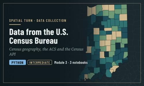
Data from the U.S. Census Bureau
1 file•3 Jupyter Notebooks
About
Census geography, the Decennial Census and the ACS, margins of error, and the Census API
Objectives
- Describe the three main Census Bureau products: boundary files, the Decennial Census and the ACS
- Explain census geographies and how GEOIDs identify them
- Interpret ACS estimates together with their margins of error
- Build a Census API request and run it in a web browser
- Use the Python notebooks to download census data and join it to boundaries
| Type | Module |
|---|---|
| Level | Expert |
| Length | 1 hour |
| Topics |
python Community: Spatial Turn |
Instructor

Aniket Dev Roy
61 modules
Discussions
Please login to view discussions.
Reviews
Not reviewed yet
No reviews yet.