NDVI Analysis
1 file•3 Jupyter Notebooks
About
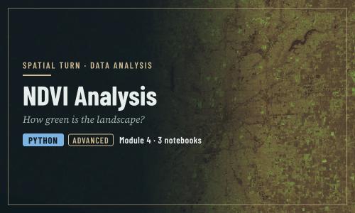
How green is the landscape in a satellite image? NDVI from Landsat, classification and machine learning
Objectives
- Explain why vegetation is bright in near infrared and dark in red
- Read raster bands with `rasterio` and convert them to surface reflectance
- Compute, map and save NDVI as a GeoTIFF
- Classify NDVI with thresholds and summarize area by class
- Describe spectral signatures, image processing levels and resolution
- Recognize the limits of NDVI (season, clouds, saturation, mixed pixels) when comparing places and dates
| Type | Module |
|---|---|
| Level | Developer |
| Length | 1 hour |
| Topics |
python Community: Spatial Turn |
Instructor

Aniket Dev Roy
61 modules
Discussions
Please login to view discussions.
Reviews
Not reviewed yet
No reviews yet.