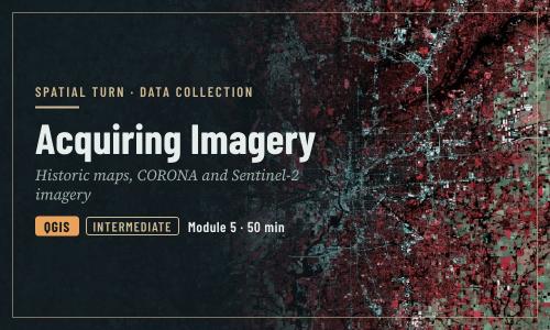
Acquiring Imagery: Scanned Maps and Satellite Data
1 file
About
Scanned historic maps, declassified CORONA imagery and Sentinel-2 satellite data
Objectives
- Explain spatial, spectral and temporal resolution
- Download a scanned historic map from a library collection
- Search for and download CORONA imagery from the CAST atlas and USGS EarthExplorer
- Search for and download Sentinel-2 imagery from the Copernicus Browser
- Open a downloaded image in QGIS
| Type | Module |
|---|---|
| Level | Expert |
| Length | 50 minutes |
| Topics |
QGIS Community: Spatial Turn |
Instructor

Aniket Dev Roy
61 modules
Discussions
Please login to view discussions.
Reviews
Not reviewed yet
No reviews yet.