Park Access in Lafayette (QGIS)
1 file
About
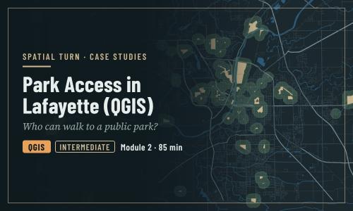
Who can walk to a public park in Lafayette and West Lafayette, and are children and households without a car as well served? In QGIS
Objectives
- Turn a policy standard (the 10-minute walk) into a measurable definition of access
- Select the features that count as parks with an expression, and document the decision
- Estimate access for several population groups with Buffer, Clip, Intersection and the Field Calculator
- Join results back to tracts, map them, and test the decisions
| Type | Module |
|---|---|
| Level | Expert |
| Length | 1 hour |
| Topics |
QGIS Community: Spatial Turn |
Instructor

Aniket Dev Roy
61 modules
Discussions
Please login to view discussions.
Reviews
Not reviewed yet
No reviews yet.