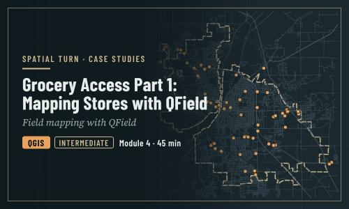
Grocery Access Part 1: Mapping Stores with QField
1 file
About
How a team maps grocery stores in the field with QField (demonstration)
Objectives
- Follow an end-to-end field workflow, using grocery stores in Lafayette and West Lafayette as the example
- Explain the reasons behind point placement, attribute choices and GPS accuracy rules
- Recognize what good field data looks like before collecting it yourself
| Type | Module |
|---|---|
| Level | Expert |
| Length | 45 minutes |
| Topics |
QGIS Community: Spatial Turn |
Instructor

Aniket Dev Roy
61 modules
Discussions
Please login to view discussions.
Reviews
Not reviewed yet
No reviews yet.