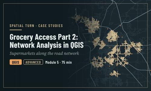
Grocery Access Part 2: Network Analysis in QGIS
1 file
About
How far people must travel to a supermarket along the road network in Lafayette and West Lafayette, in QGIS
Objectives
- Load grocery store, road and study area layers into QGIS from the web
- Reproject layers to a projected coordinate system so that distances are in meters
- Calculate shortest paths from one origin to every supermarket
- Generate service areas that show which streets are within walking distance of a supermarket
- Recognize data problems that break network analysis
| Type | Module |
|---|---|
| Level | Developer |
| Length | 1 hour |
| Topics |
QGIS Community: Spatial Turn |
Instructor

Aniket Dev Roy
61 modules
Discussions
Please login to view discussions.
Reviews
Not reviewed yet
No reviews yet.